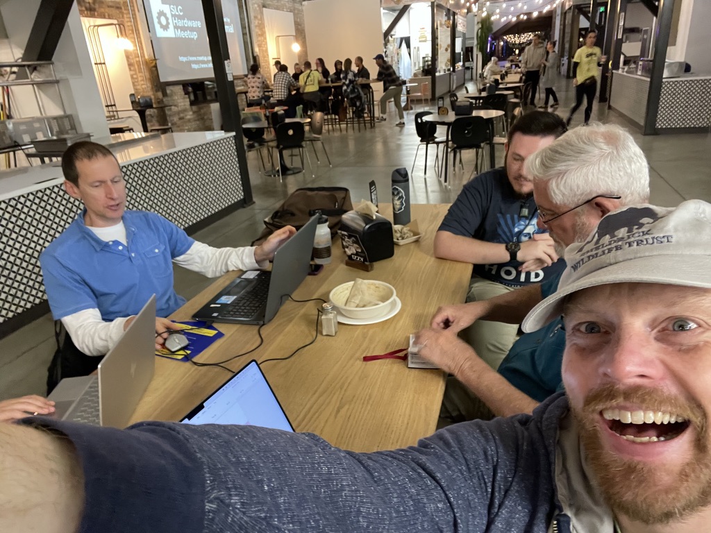
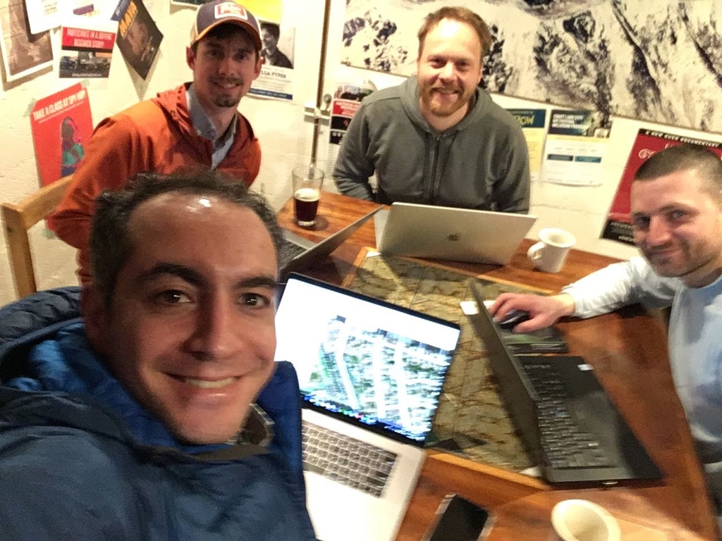
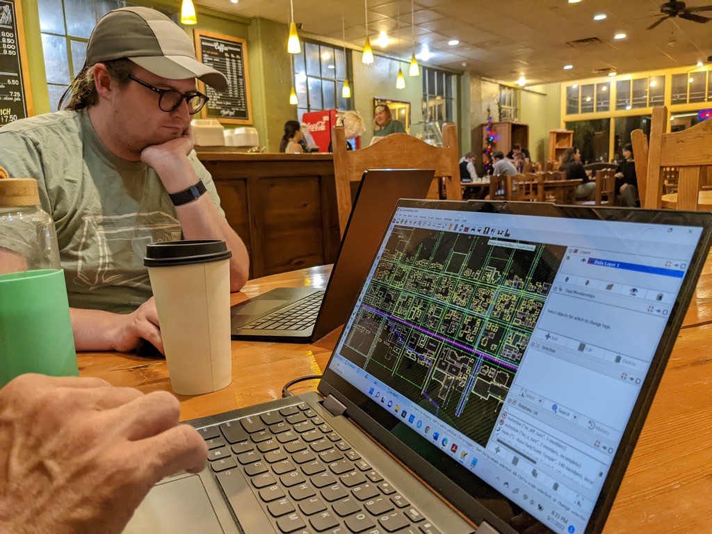
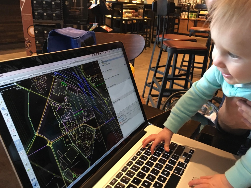
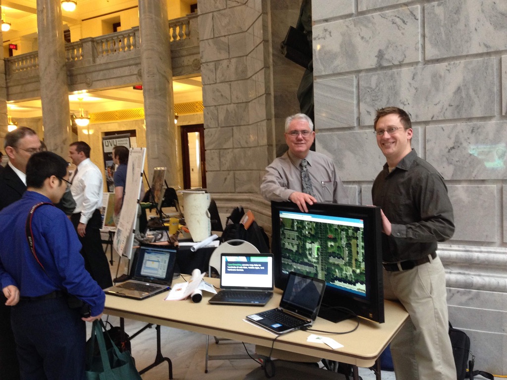
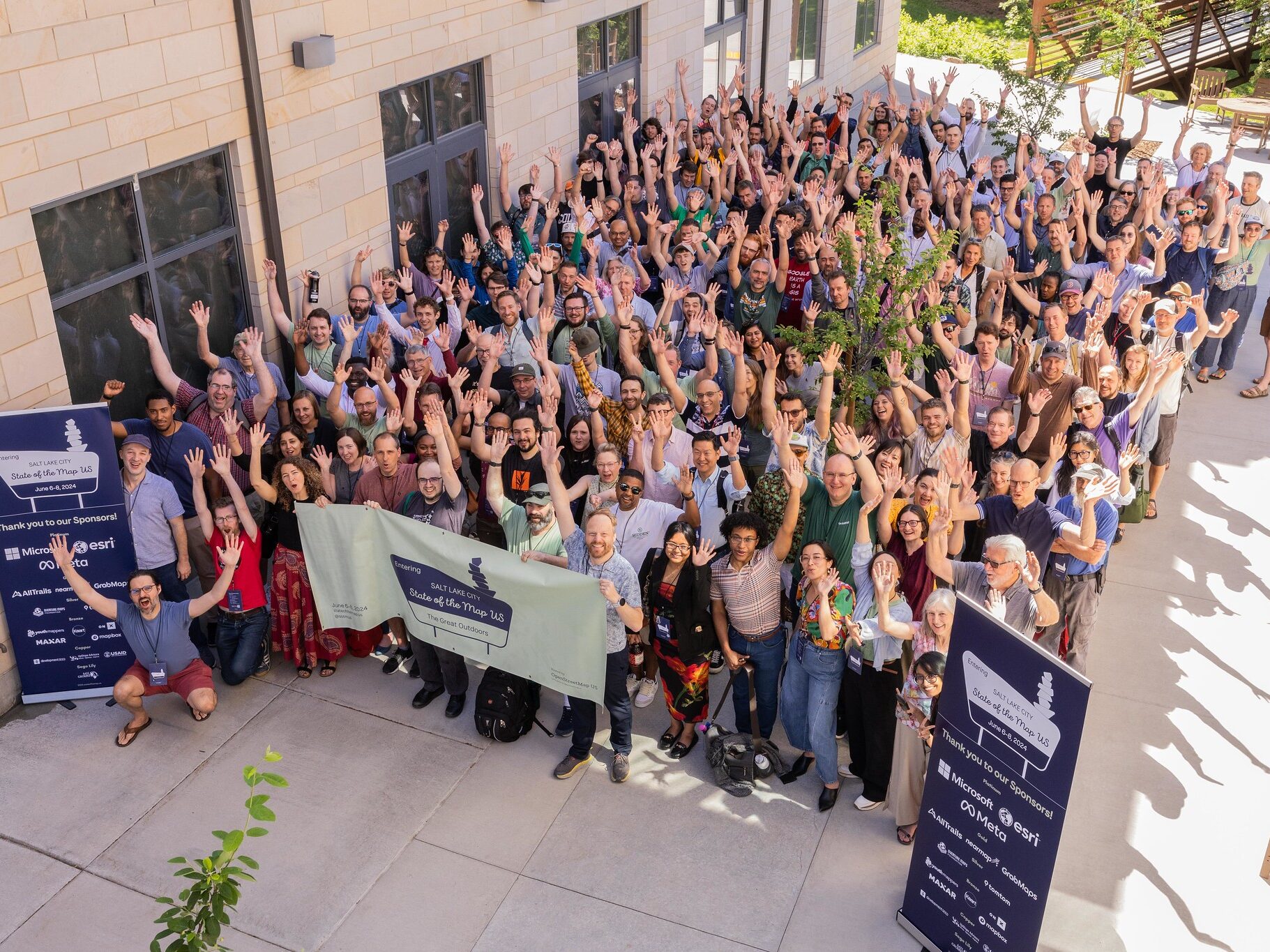
We are GIS and map enthusiasts from the Salt Lake City area. Since 2011, we have been getting together to improve OpenStreetMap, discuss mapping projects, learn from each other and have a good time! If you like maps, you should join us!
Let’s Map Utah Together!
- OpenStreetMap is the Wikipedia of Maps – Anyone can contribute!
- OSM maps are used in apps like Instagram, Snapchat, Uber and Lyft
- Your map contributions reach millions of people every day
- Getting started with OSM is not hard. We’re here to show you around
- OSM Utah hosts monthly Map Nights open to anyone!
The Latest from OpenStreetMap Utah
-
Mall Mapping Plans 123
As the days get shorter and the temps drop, we focus our attention on indoor mapping opportunities. Mall Mapping is a great winter surveying activity! We discussed planning a mall mapping session at our regular Map Night. Let’s look at the malls we have and which ones need the most mapping! A good way to
-
OpenStreetMap Utah 2024 Year In Review
We had a very productive year improving OSM in Utah in 2024! Here are some numbers and highlights we would like to share with you. Pedestrian Infrastructure Mappers added 11,246 km of new sidewalks and improved a further 4,884 km! In the process, we also added 13,738 curbs! A lot of this work is powered
-
Upcoming Online Event: Mapping USA
Here at OSM Utah, we love meeting in person and we’re lucky to have enough mappers in the Salt Lake City area to enjoy monthly meetups! Many OSM mappers do not have that easy access to in-person OSM events, or may not be interested in meeting in person. For all those people, and of course
-
Happy Holidays From OSM Utah
As the year draws to a close, OSM Utah is looking back on a very good year, with more mapping and social events than ever in its 13-year history! We feel in a celebratory mood, and want to share some of our 2024 highlights with you. Happy Mapping! Map Nights We held a Map Night
-
Adding new buildings to OpenStreetMap efficiently to keep up with fast growth in Utah
Utah is one of the fastest growing states in the U.S. If you live in or around the Wasatch Front or Saint George, you cannot miss the new subdivisions, apartments and condos being built everywhere. Check this area in Saratoga Springs, just a few years ago: And more recently: For us mappers this means a
-
Handling trailless routes in OpenStreetMap
What is a trailless route? With the proliferation of online outdoor recreation information, there has been an increase in the popularity of trailless routes. Unfortunately, this has also resulted in increased ecological impact and SAR incidents. Trailless routes are routes which lack an established trail and may vary over time in the safest, least impactful
-
Who edited OpenStreetMap in Utah recently? This App will tell you!
Curious who else is mapping your neck of the woods? The best way is to come to our monthly map nights, of course! But did you know that OSM offers really nice tools to show you exactly where OSM has been edited recently, and by who? The tool for the job in this case is
-
Mapillary Imagery for OpenStreetMap in Utah
Mapillary is a cool crowdsourced street-level imagery project. Think Google Streetview, but with an open license for the images and pictures taken by people like you and me. I’ve been an on-and-off contributor for over a decade. The main reason why I do it is that the images can be used for improving OpenStreetMap, the
-
Digital trails stewardship in action
As part of OpenStreetMap US’ Trails Stewardship Initiative pilot, we have been improving trail data in southern Utah to help reduce ecological and archeological impact from recreation, and to prevent trail user rescues. My hometown in southwest Utah is well known for Zion National Park, but we are also an increasingly popular destination for outdoor
-
OpenStreetMap Turns 20, Come Celebrate With Us!
It’s hard to believe that it’s been 20 years! OpenStreetMap turns 20 on August 9, and we are celebrating! For this occasion, we’re trying a different venue, The Local, another food hall that opened recently. It’s right by the Library TRAX station. Join us there on Friday, August 9 for a happy hour drink and
